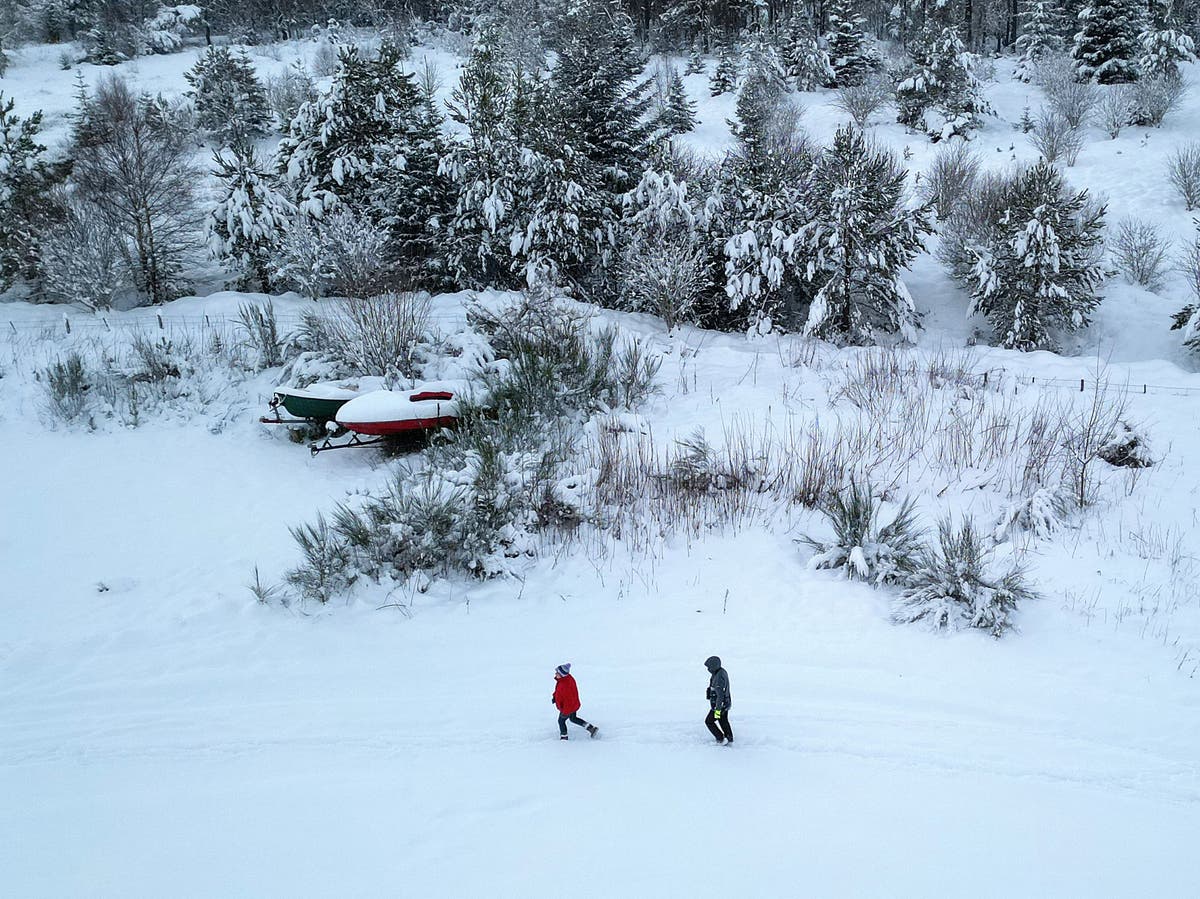
Heavy snow in Lairg, Scotland, on Thursday
(Getty Images)
An Arctic blast is set to freeze the UK from early February as the latest weather map forecasts snow could strike from early February.
WXcharts, an interactive weather map using Met Office data, predicts Britons could expect snow from 6 February across northern England and Scotland.
The Met Office have issued a yellow rain warning covering large parts of Lancashire and Cumbria has been issued from 12pm on today to 5am on Tuesday, with around 40 to 50mm possible on high ground.
It comes as the Scottish village of Kinlochewe provisionally set the UK record for temperature in January after hitting 19.6C on Sunday.
This beats the previous January UK record of 18.3C set at Inchmarlo and Aboyne in 2003 and Aber in 1958 and 1971, the forecaster said.
Craig Snell, meteorologist at the Met Office, said: “We’ve really got a weather front kind of slicing the country and that’s where the rain band is – to the south of it we’ve got the milder air, to the north of it the colder.
“So it’s going to be a cold front which is trying to push that that milder air away. It probably won’t win the day in the south, it will hang on to the milder air for a little bit longer.”
Key points
Show latest update
Welcome to our weather blog
Today the Independent will bring you all the latest weather news as a bizarre weather event unfolds across the UK.
There will be a “three-way split” in weather conditions across the UK on Monday, with a yellow rain warning issued for north-west England.
Lydia Patrick29 January 2024 08:43
Where are today’s weather warnings?
A yellow rain warning covering large parts of Lancashire and Cumbria has been issued from 12pm on Monday to 5am on Tuesday, with around 40 to 50mm possible on high ground and the potential for localised disruption.
Weather warning for rain January 29-30 2024.
(PA Wire)
Lydia Patrick29 January 2024 08:45

