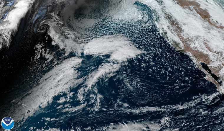
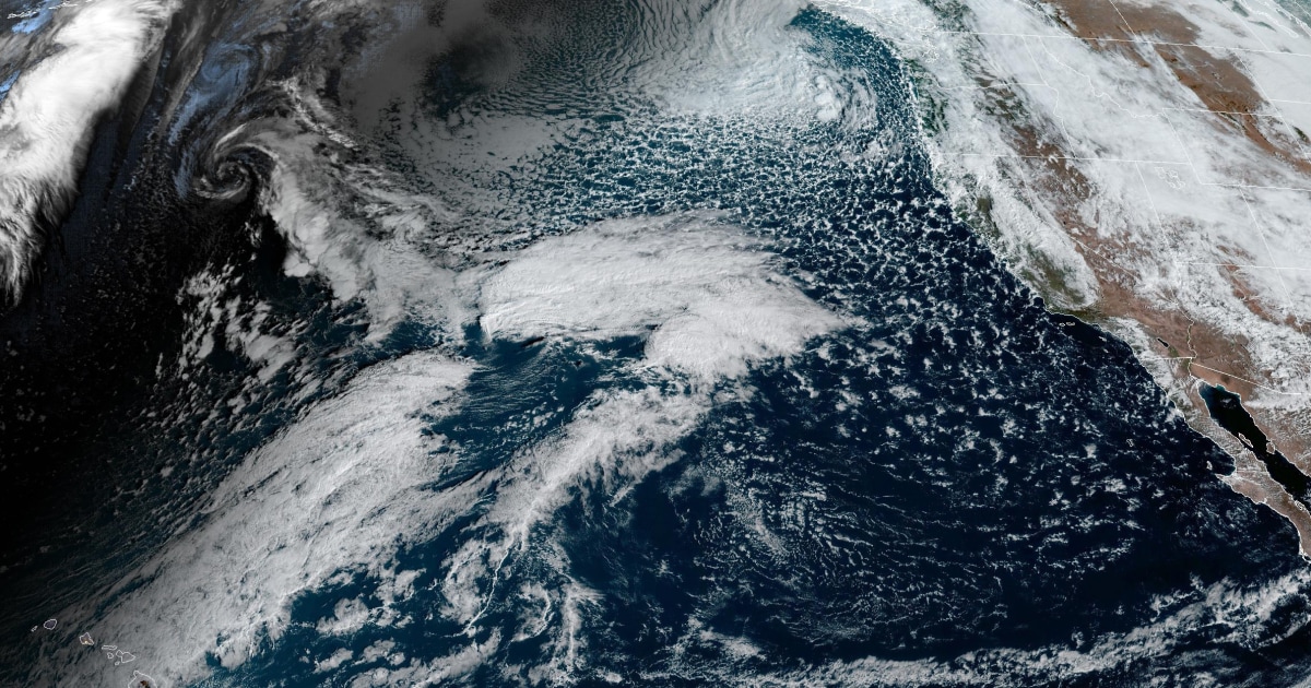
A powerful Pacific storm system is expected to impact southern California beginning Saturday night and lasting through Tuesday morning. While this will be a long-duration rainfall event, the peak rainfall will occur Sunday and Monday.
The storm system will be fueled by an atmospheric river, which will pump moisture into the state of California. The area of heavy rain will be intense at times, and could slow-down or even stall over parts of the state which could lead to the possibility of record-setting rainfall amounts.
While the storm system will impact northern California first (including the Bay Area and Big Sur coast) beginning on Saturday afternoon, the worst of the flooding is expected to be Santa Barbara and southward.
By the time the rainfall completely ends on Tuesday, coastal and valley areas, such as Santa Barbara County, Ventura County and the Los Angeles metro area could pick up a widespread 3 to 6 inches of rain, with locally higher amounts of up to 6 to 10 inches of rain.
The mountainous areas will pick up even more rainfall due to terrain enhancement to the totals. A widespread 6 to 12 inches will be possible in these locales, with locally higher amounts up to 15 inches.

Extreme southern California (including San Diego metro area) is forecast to pick up 1 to 3 inches of rain, with locally higher amounts up to 5 inches.
Should the upper limits of the rainfall forecasts be reached, they could break 1-day rainfall records, 2-day rainfall records and potentially monthly rainfall records. This includes places like Los Angeles, Santa Barbara and Long Beach.
6 inches or more will land Los Angeles, Santa Barbara and Oxnard in their top 10 wettest 2-day period on record. Long Beach only needs more than 3.75 inches in a 2-day span to land in the top 10.
The winter months are typically the rainy season for California, and especially during an El Niño pattern which promotes an active storm track into California often resulting in and warmer and wetter winters compared to average conditions. However, the rainfall totals expected with this incoming system could rival some of biggest storm systems to slam the Golden State.
Detailed locations that could see flash flooding
While forecasters cautioned it’s difficult to predict exactly where the narrow “fire hose” of moisture will set up and stall, there is moderate certainty that the axis of heaviest rainfall totals will be somewhere from Santa Barbara to Long Beach, including the Los Angeles metro area.
In a Friday morning forecast discussion, the National Weather Service in Los Angeles mentioned that communities near or in the south-facing mountains would need to start preparing at that time for possible evacuations.
The weather service also posted tips on how to prepare ahead of the storm to protect both life and property.
In addition to the urban areas and mountain communities, locations near rivers, and specifically the Ventura River, Santa Ynez River and Santa Clara River, would need to be on guard for sudden or rapid rises that could cause the rivers to burst out of their banks.
Landslides and debris flows will be possible in the hilly and mountainous areas.
The rainfall amounts will be the main headline with this storm, but the Sierra will see heavy snow as well. Snow levels will be around 7,000 feet and 2 to 4 feet of new snow accumulation is possible through Tuesday.
Strong winds and high surf will also be concerns associated with this storm system.
