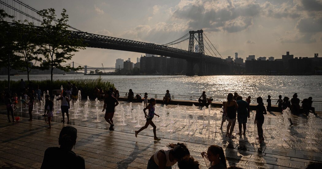
Dangerous heat that has scorched other parts of the country for more than a month spread to the nation’s most populous region on Thursday, with spiking temperatures and a blanket of oppressive humidity that prompted widespread heat warnings in New England and the Mid-Atlantic states.
The heat will probably peak in the region on Friday, when about 118 million Americans, more than a third of the population, were expected to be in the “danger” zone, where the heat index — a measure that combines temperature and humidity — would rise into the 100s, according to a New York Times analysis of National Weather Service and U.S. Census Bureau data. That’s among the largest proportions of the U.S. population to be threatened at the same time by extreme heat so far this year.
More than a dozen daily heat records could be set across the Northeast on Thursday and Friday, meteorologists said, with many of them likely to occur at night, when temperatures are unlikely to cool down as much as usual.
Cities up and down the East Coast responded to the looming heat spike with emergency measures aimed at preventing heat-related illnesses and deaths. In Philadelphia, where temperatures were forecast to reach 96 on Thursday and 99 on Friday, city leaders declared a “heat health emergency,” extending the hours when 32 air-conditioned sites will be open for residents to seek relief and adding extra outreach to people without housing.
In Hartford, Conn., too, authorities opened cooling centers in libraries, churches and senior centers to protect older residents and other vulnerable populations.
Severe thunderstorms were expected to sweep through many states on Thursday afternoon and evening, including western Massachusetts, New Hampshire and Vermont, where flood watches were in effect on Thursday. Among the places at risk for flooding were Springfield, Mass., and Montpelier, Vermont’s capital city, which was inundated with several feet of water earlier this month after heavy rainfall pushed rivers over their banks.
Facing three days of potentially record-setting temperatures of 95 to 100 degrees on Thursday, Friday and Saturday, New York was placed under an excessive heat warning by the National Weather Service through Friday night. So was Washington, where temperatures were expected to hover around 100 degrees into the weekend.
The planet has warmed by about 2 degrees Fahrenheit since the 19th century and will continue to grow hotter until humans essentially stop burning oil, gas and coal, scientists say. The warmer overall temperatures contribute to extreme-weather events and help make periods of extreme heat more frequent, longer and more intense.
Over the next few days, New York City could see its hottest stretch of the year, if not several years, according to Dominic Ramunni, a meteorologist in the New York offices of the Weather Service. Though the temperature in Central Park has hit 90 degrees or higher on six days this year, it has not yet reached the threshold to be considered a heat wave, which in New York is three consecutive days above 90 degrees.
In the Midwest and Southwest, which are already reeling from heat, residents will continue to swelter. In Phoenix, scorching high temperatures of 113 degrees were forecast through Saturday, continuing a long stretch of torrid, life-threatening weather.
At least a half-dozen deaths in national parks have been attributed to heat this summer, an unusually high number. Experts say an accurate count of all heat-related deaths may be slow in coming, as the role of heat can often be entangled with underlying health conditions.
For at least some parts of the country, relief is forecast for next week, with temperatures and humidity levels in the Mid-Atlantic and Northeast expected to fall back into a normal range — if not below average — on Sunday and Monday.
